Project Groundwater Northumbria
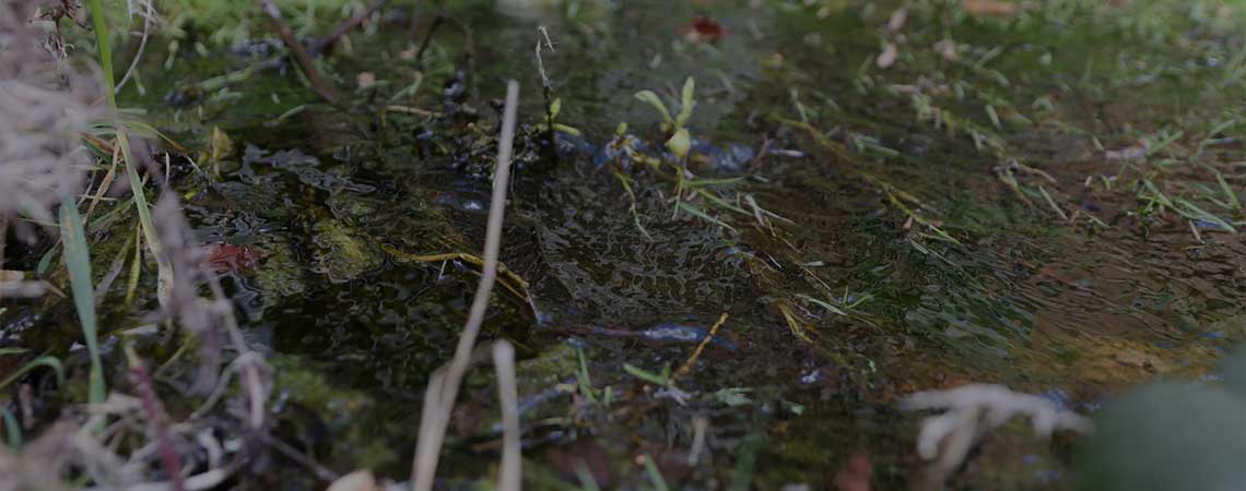
Flooding often leaves families, communities and businesses in distress every year. Following a major groundwater flood event in 2016, DEFRA invested £6.093 million to map groundwater flood risk and to develop a groundwater flood alert system for four sites in the northeast of England.
Led by Gateshead Council, Project Groundwater Northumbria is run is partnership with the Environment Agency, the Coal Authority and Newcastle University. Its objective is to better understand how groundwater will behave when it interacts with underground mine workings and the likely impact on the ground surface
Using information from the Coal Authority, the project identified that interaction from shallow underground mine workings created a unique set of conditions which influence groundwater flood risk in parts of Gateshead as well as other northeast regions.
The project outputs include flood risk mapping (the mapping and monitoring of groundwater will enable flood risk mapping to be produced providing an evidence-based approach to groundwater risk management) and a forecasting and warning system (improve flood preparedness and track groundwater in real-time).
To visit Project Groundwater Northumbria, click here