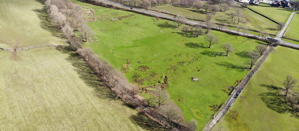
Threlkeld Mines
Where Are We Proposing To Treat The Mine Water?
We looked at several potential locations to build the scheme within about 2km of the Woodend Low Level. The key factors we consider when looking for land for a mine water treatment scheme include:
- A large enough area to build the scheme
- Distance from the Woodend Low Level (mine entrance)
- Distance from residential properties and businesses
- Is it downhill of the Woodend Low Level (mine entrance)?
- How will we return the treated water to Gategill Beck?
- Access to the site for construction vehicles and during operations.
- Is the land suitable for construction: steepness of slopes, flood risk, ground conditions etc.
- Is the site protected as a site of special scientific interest or scheduled monument (archaeology)?
- Are the landowners interested in leasing or selling their land?
We investigated potential sites in several phases, summarised on the map below:
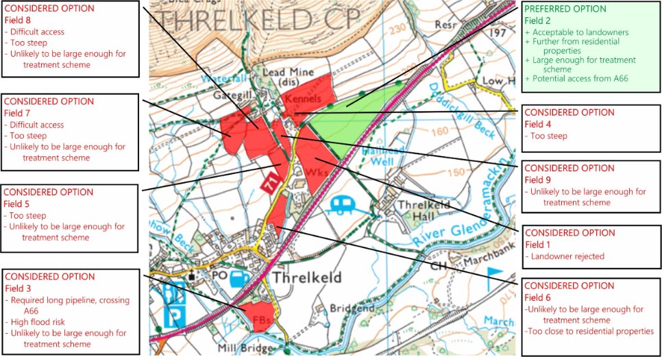
2012: Atkins:
- Three sites considered (Field 1, 5 and 6)): all rejected after further engineering investigations and discussions with landowners.
2017: Mining Remediation Authority map-based review
- Considered land within a 2.5km distance from the Woodend Low Level with criteria including:
- Slope steepness and elevation
- Risk of surface water flooding
- Conservation designations (ecology, archaeology)
- Further potential sites identified for further technical investigations and discussion with landowners.
2017+: CDM Smith Technical Review
- Land adjacent to sewage works (Field 3 on map) rejected due to distance and complexity of installing pipeline from the Woodend Low Level.
2018 to 2024:
- Discussions with landowners at the preferred location (Field 2 on map).
- Initial surveys of ecology and ground conditions suitable.
- Option to lease the land signed with landowners (2024).
- Further surveys of ground conditions to be carried out (2024 onwards).