Whitburn aquifer protection scheme
Whitburn aquifer protection scheme in Tyne & Wear, England, prevents mine water from entering the limestone rocks beneath the surface. These rocks form an important regional aquifer, which hold the drinking water source for thousands of homes and businesses in South Tyneside and Sunderland.
The new scheme is part of a wider programme of protection schemes which the Coal Authority is developing and operating throughout the region to address the impacts of rising mine water from historical coal mining.
Managing the mine water
Since coal mining came to an end in the area in the 1990s mine water has been rising up slowly through the old mine workings.
Mine water is water which has made its way into old mine workings and has picked up naturally occurring minerals from the rocks, mainly salt and iron.
Based in a strategic location, the scheme protects the aquifer due to its underground connections between the abandoned coal mines. It pumps mine water from the abandoned workings deep beneath the Whitburn Coastal Park, controlling it at around 50 metres below ground.
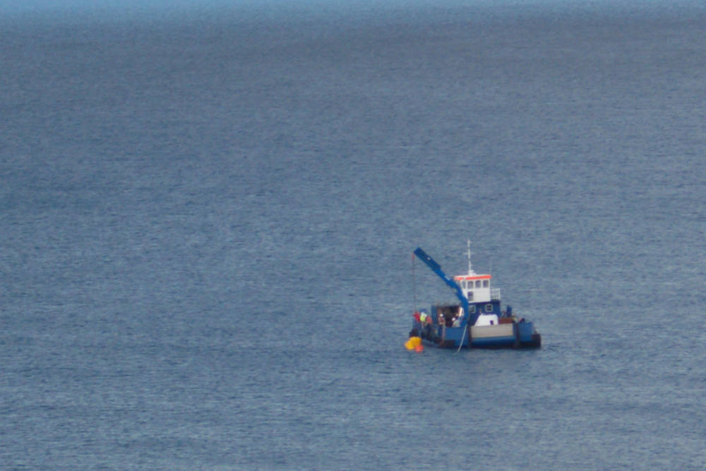
The mine water is then transported 230 metres out to sea, beyond the low-tide level, where it is dispersed by natural processes.
We carried out the consultation and liaison work required with the relevant public bodies (Environment Agency, Marine Management Organisation and local authorities) to obtain the necessary permissions, permits and licences. We also worked with the National Trust, South Tyneside Council, other local authorities and local residents to keep people informed about the aquifer protection scheme.
Research and monitoring
A feasibility study indicated that Whitburn would be a suitable location for a scheme to protect the aquifer and in 2011 a pumping test confirmed that:
- an existing borehole in Whitburn Coastal Park is well connected to this part of the mining block – allowing us to control the rising mine water
- a relatively small discharge, using a directionally drilled sea outfall pipe into the bed of the North Sea, would control mine water levels to protect the aquifer
We employed specialist consultants to carry out dispersion modelling to identify the impact on the marine environment. Their findings predicted that the iron concentrations within the mine water would be rapidly diluted in the sea.
Marine specialists also carried out CCTV surveys to establish a baseline record of marine flora and fauna. We will continue to work with the Environment Agency to monitor the scheme and ensure standards continue to be met to protect the marine environment.
Risks and challenges
In the early 2000s we identified the risk of rising mine water in the area. Through intensive monitoring we have been able to identify when to implement schemes to control this rise and protect the aquifer.
At Whitburn, our team faced a number of challenges when designing the scheme:
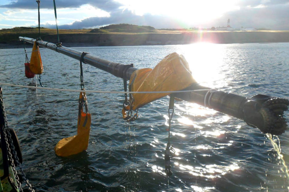
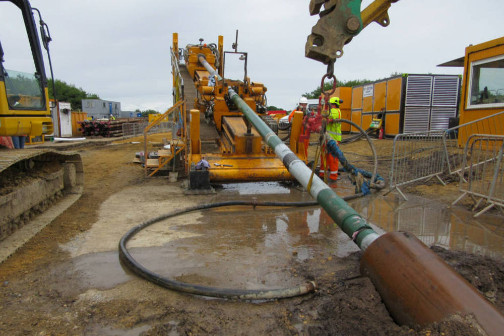
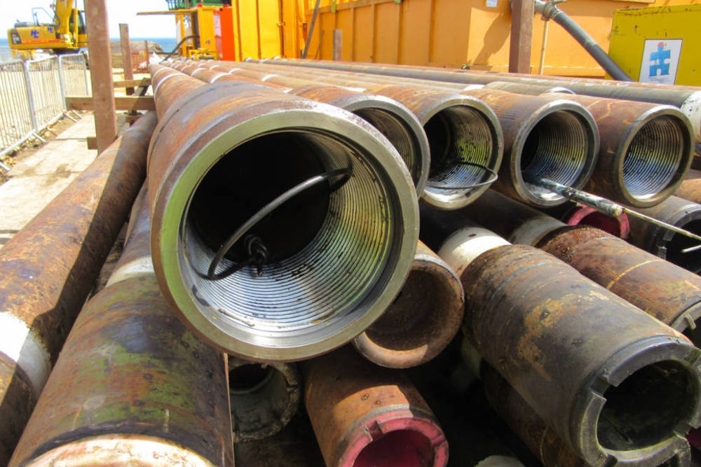
- due to the fractured nature of the limestone rock specialist oil industry techniques were needed to successfully drill the 450 metre long sea outfall pipe
- construction needed to take place within the environmentally sensitive Whitburn Coastal Park and therefore the scheme had to be designed to have minimal visual impact
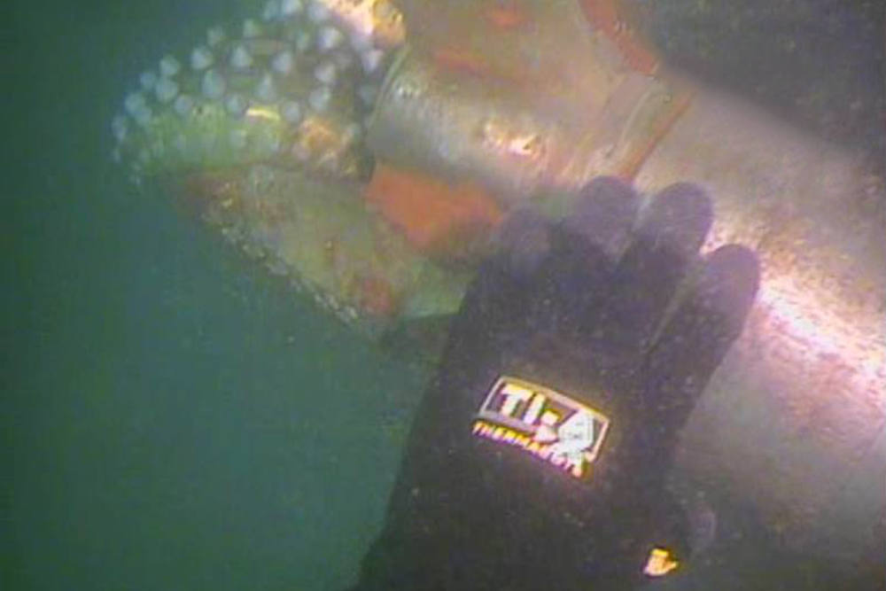
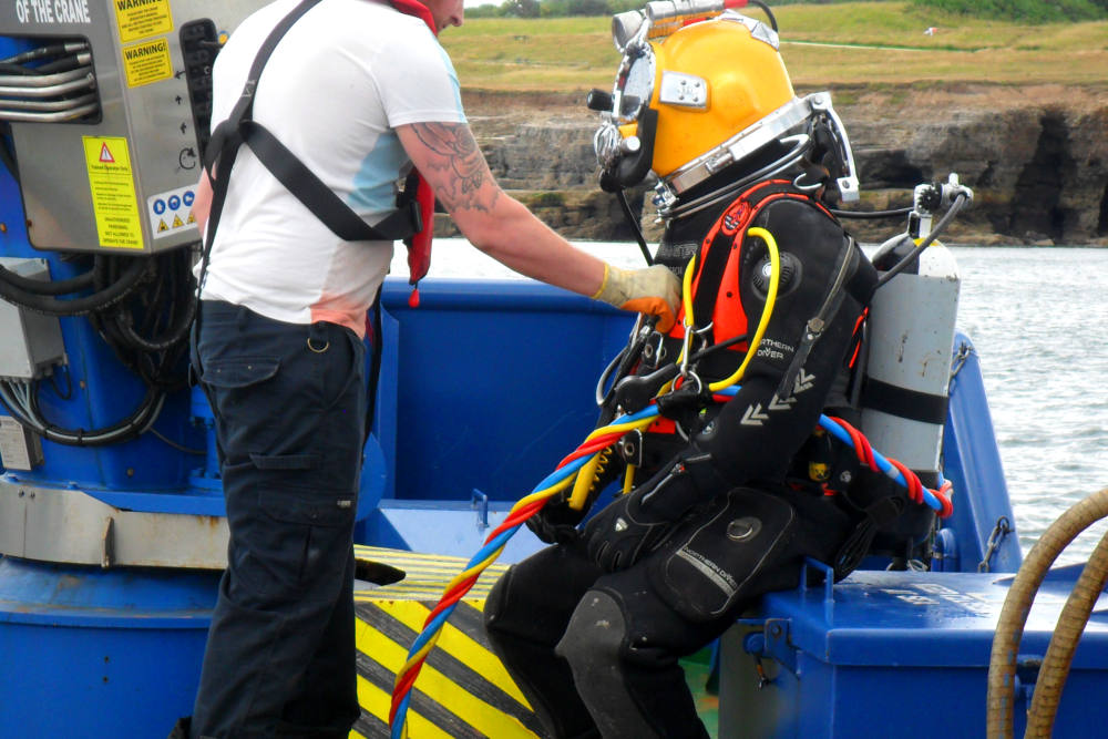
- specialist divers were employed to install the diffuser on the North Sea bed where depths were over 5 metres, even during low tide
History
Whitburn Colliery closed in 1968 and coal mining in Tyne and Wear ended in the early 1990s.
Soon after the mine closed the miners’ homes in the village of Marsden were demolished, due to fears of coastal erosion, with the residents moved to new housing in Whitburn.
Whitburn Coastal Park is now located on the site of the old colliery and includes areas of tree planting and wetland habitats. In 2003, it was designated as a local nature reserve. New ponds were added in 2011 by the local Coastal Conservation Group.
Project gallery